
Fichier:Uk map england.png
Taille de cet aperçu : 358 × 599 pixels. Autres résolutions : 143 × 240 pixels | 287 × 480 pixels | 643 × 1 075 pixels.
Fichier d’origine (643 × 1 075 pixels, taille du fichier : 62 kio, type MIME : image/png)
Ce fichier provient de Wikimedia Commons.
Les informations le concernant sont affichées dans cette page de description qui est copiée ci-dessous.
Commons est un serveur de fichiers sous licence libre. Vous pouvez aider (procédure). |

Description
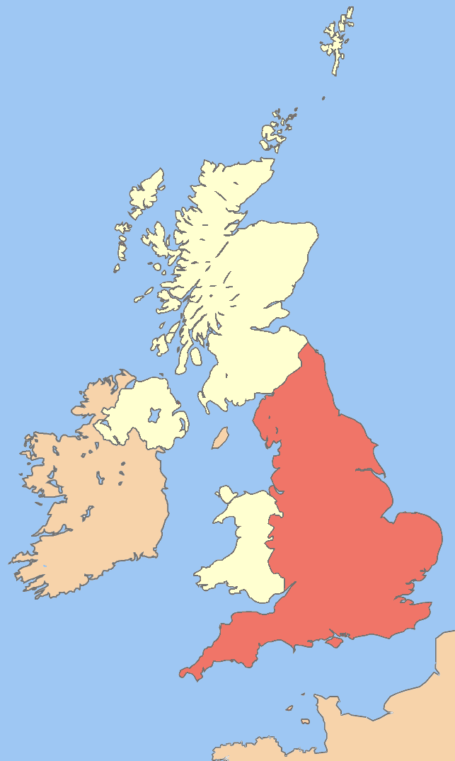
| Description | Image of England in the UK |
| Date | |
| Source | Image:British Isles United Kingdom.svg |
| Auteur | UKPhoenix79 |
| Autres versions | Image:Uk map.png Image:Uk_map_england.png Image:Uk map northern ireland.png Image:Uk map scotland.png Image:Uk map wales.png |
Conditions d’utilisation
Moi, en tant que détenteur des droits d’auteur sur cette œuvre, je la publie sous les licences suivantes :

|
Vous avez la permission de copier, distribuer et modifier ce document selon les termes de la GNU Free Documentation License version 1.2 ou toute version ultérieure publiée par la Free Software Foundation, sans sections inaltérables, sans texte de première page de couverture et sans texte de dernière page de couverture. Un exemplaire de la licence est inclus dans la section intitulée GNU Free Documentation License. |
Ce fichier est disponible selon les termes de la licence Creative Commons Attribution – Partage dans les Mêmes Conditions 3.0 (non transposée).
- Vous êtes libre :
- de partager – de copier, distribuer et transmettre cette œuvre
- d’adapter – de modifier cette œuvre
- Sous les conditions suivantes :
- paternité – Vous devez donner les informations appropriées concernant l'auteur, fournir un lien vers la licence et indiquer si des modifications ont été faites. Vous pouvez faire cela par tout moyen raisonnable, mais en aucune façon suggérant que l’auteur vous soutient ou approuve l’utilisation que vous en faites.
- partage à l’identique – Si vous modifiez, transformez, ou vous basez sur cette œuvre, vous devez distribuer votre contribution sous la même licence ou une licence compatible avec celle de l’original.
Vous pouvez choisir l’une de ces licences.
Historique du fichier
Cliquer sur une date et heure pour voir le fichier tel qu'il était à ce moment-là.
| Date et heure | Vignette | Dimensions | Utilisateur | Commentaire | |
|---|---|---|---|---|---|
| actuel | 31 mars 2008 à 03:06 | | 643 × 1 075 (62 kio) | UKPhoenix79 | cropped and lighted the red colour |
| 29 mars 2008 à 19:31 |  | 675 × 1 180 (70 kio) | UKPhoenix79 | {{Information |Description=Image of All the UK |Source=Image:British Isles United Kingdom.svg |Date=2008-03-29 |Author= UKPhoenix79 |Permission= |other_versions=Image:Uk map.png }} |
Utilisation du fichier
Aucune page n’utilise ce fichier.
Usage global du fichier
Les autres wikis suivants utilisent ce fichier :
- Utilisation sur ba.wikipedia.org
- Utilisation sur el.wikipedia.org
- Utilisation sur en.wikipedia.org
- Portal:England
- Portal:England/Introduction
- User:Phoenix79/images
- Category:Wikipedia requested photographs in England
- Talk:United Kingdom/Archive 15
- Talk:Scotland/Archive 17
- Talk:Scotland/Archive 18
- Wikipedia talk:WikiProject UK geography/Archive 6
- Wikipedia talk:UK Wikipedians' notice board/Archive 13
- Talk:Europe/Archive 6
- Wikipedia talk:WikiProject Scotland/Archive 4
- Wikipedia talk:WikiProject Maps/Archive 5
- Wikipedia talk:WikiProject England/Archive 2
- Wikipedia talk:WikiProject Wales/Archive 2008
- Wikipedia talk:WikiProject Northern Ireland/Archive 1
- Utilisation sur lez.wikipedia.org
- Utilisation sur lt.wikipedia.org
- Utilisation sur no.wikibooks.org
- Utilisation sur pt.wikipedia.org
- Utilisation sur ru.wikipedia.org
- Utilisation sur szl.wikipedia.org
- Utilisation sur te.wikipedia.org
- Utilisation sur uz.wikipedia.org
- Utilisation sur vi.wikipedia.org